
TOWN
Ittoqqortoormiit
Quick facts about Ittoqqortoormiit
Name (East Greenlandic):
Name (West Greenlandic):
Other names:
Population:
GPS coordinates:
Location:
Airport/Heliport:
Timezone:
Postal code:

Living Amidst Icebergs and Wildlife
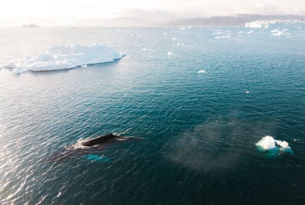
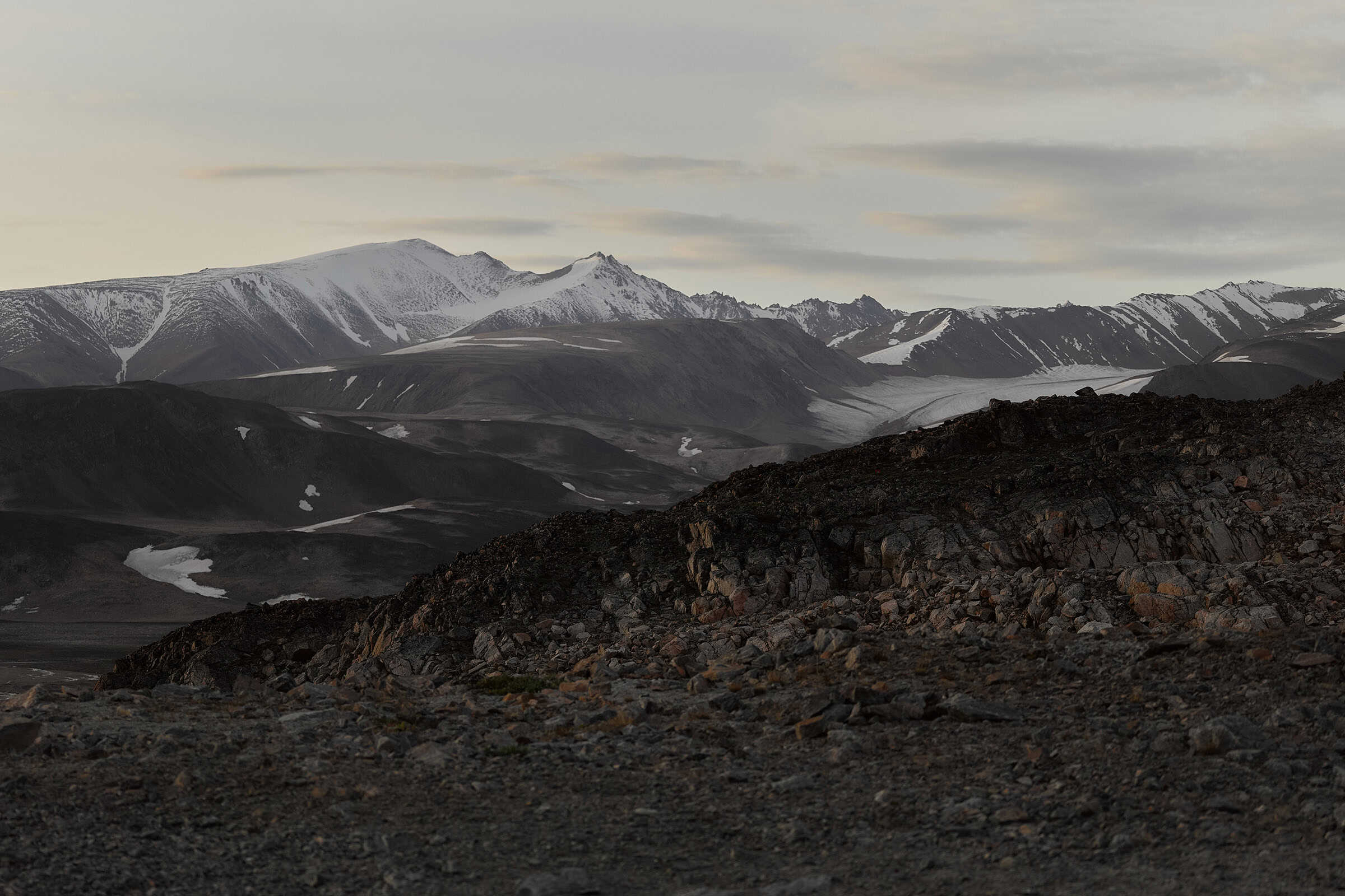
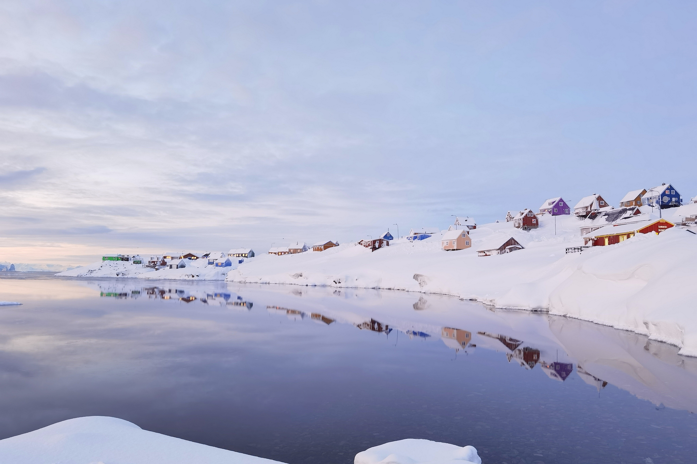
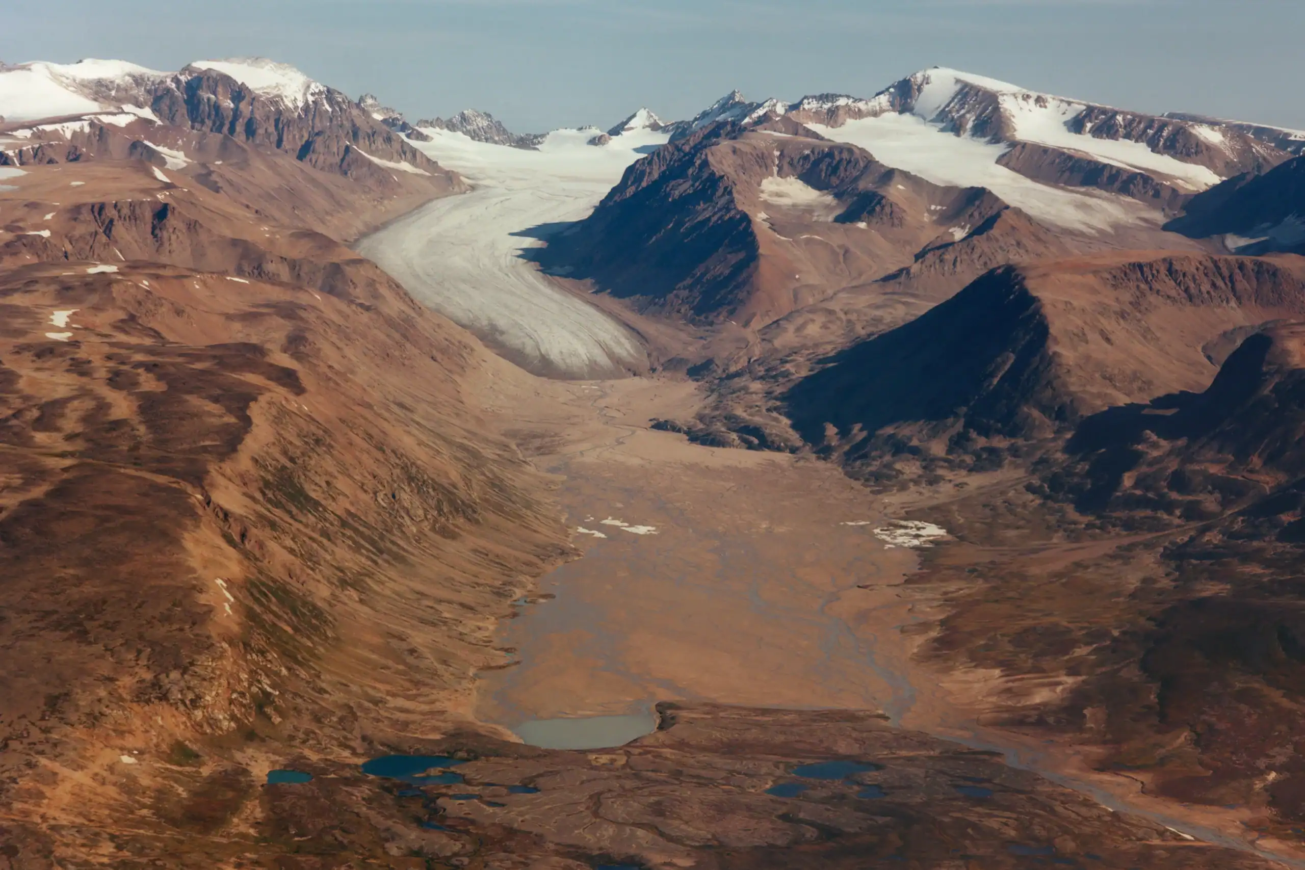
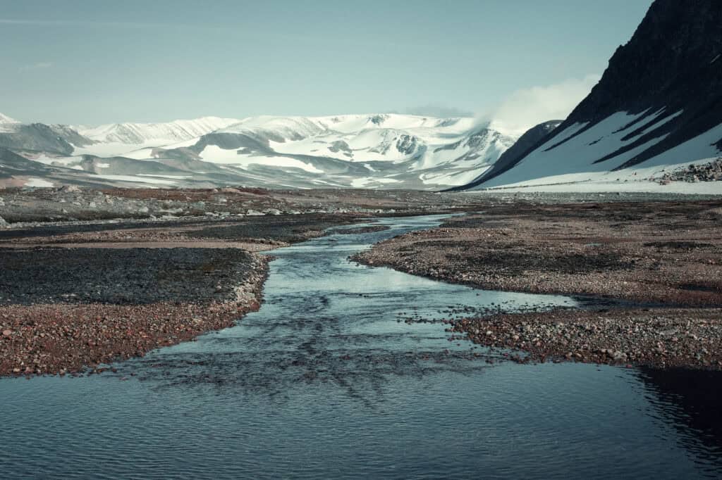
Ittoqqortoormiit, the only inhabited town in the area, is situated amid a pristine wilderness, where a thriving population of wild animals, millions of nesting seabirds, and ever-shifting colossal icebergs create a constantly evolving landscape. The area of Ittoqqortoormiit is the largest ice-free area in Greenland, borders the North-East National Park and offers the most marvellous and colourful rock formations. The world’s largest fjord system is the entrance to and home to unique wildlife such as polar bears, muskoxen and narwhals. Ittoqqortoormiit is located on Jameson Land with Kangertittivaq, the world’s largest fjord system to one side and the North-East National Park of Greenland to the other side. Being the only inhabited town in North-East Greenland, currently 363 people live here, 500 kilometers north of the Arctic Circle, year round.

The Isolated Splendour
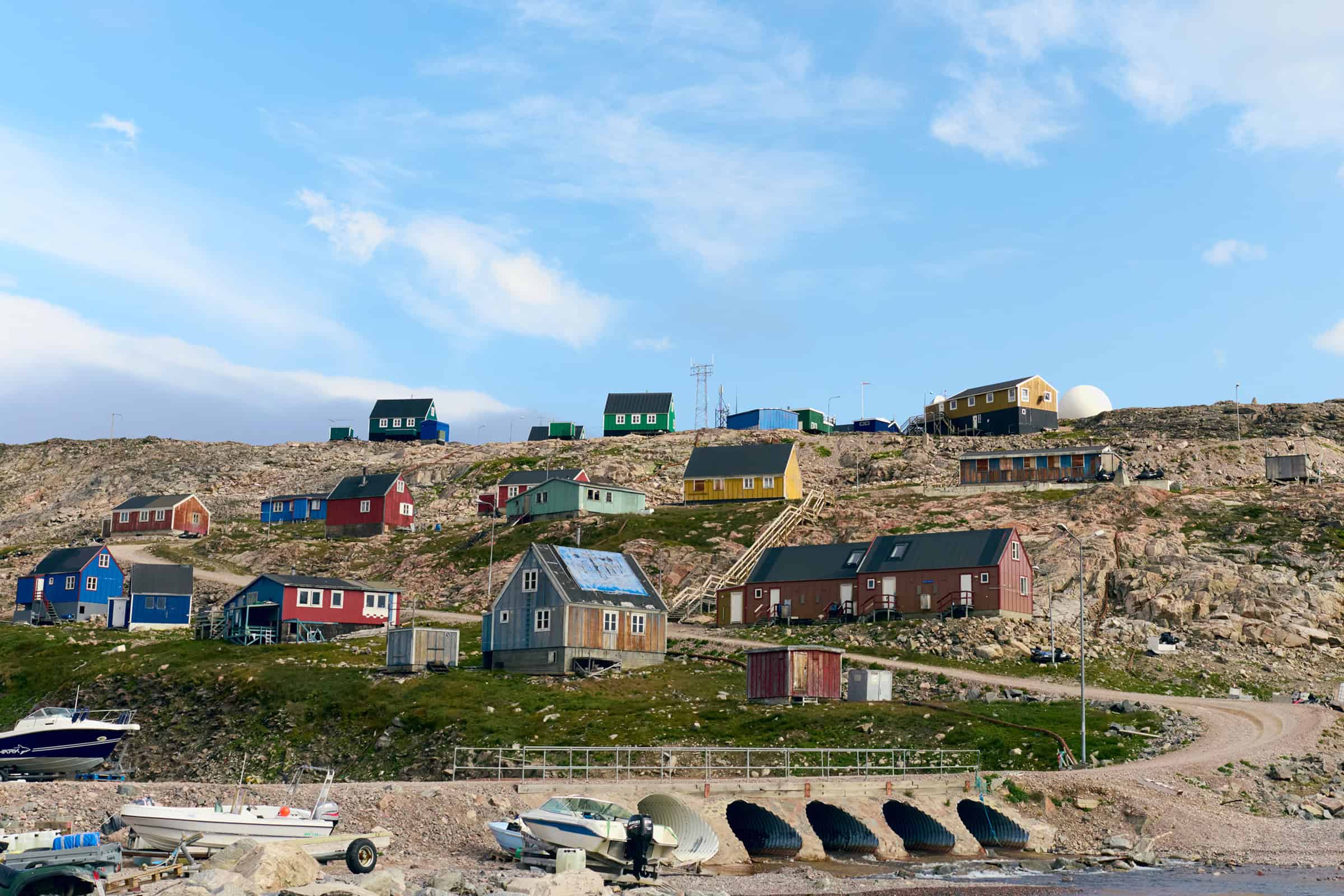
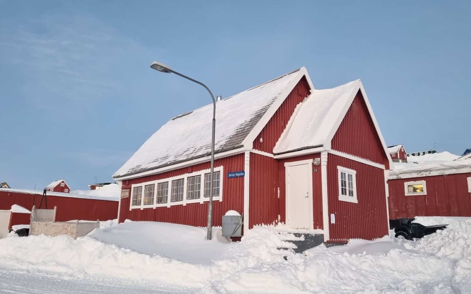
For a town of its size, Ittoqqortoormiit has a range of facilities to cater to the spiritual, administrative, communal, and educational needs of its inhabitants. Dependent on two supply ships per year and two international flight connections per week, the town is structured to be self-sufficient and self-reliant throughout the year. For visiting guests Ittoqqortoormiit serves as the base for their adventure into the world’s largest fjordsystem. Its residents, a resilient and vibrant community, breathe life into this remote corner of the world.

A Tale of Survival and Splendor in the Arctic
Ittoqqortoormiit, with its remote charm and breathtaking natural beauty, offers a unique glimpse into the heart of the Arctic wilderness. The town’s rich wildlife, vibrant community, and remarkable adaptability offer a fascinating study in resilience and coexistence. Here, at the edge of the habitable world, life thrives against the odds, testifying to the unyielding spirit of humanity and the enduring splendour of nature.
Map of Ittoqqortoormiit

This vibrant settlement of 363 residents offers rich experiences and warm hospitality. The map highlights the helistop, essential amenities, and local charm connecting it to the world.
Map of the Ittoqqortoormiit Region

Covering 38,000 km², this region teems with wildlife—polar bears, walruses, and diverse birds. The map unveils rugged mountains, icy fjords, historic sites, and remote Arctic beauty.
Key Infrastructure in Ittoqqortoormiit
- A helipad, a dedicated landing spot for the helicopter, check-in is handled by the supermarket.
- A harbour with local pontoon in the settlement
- A small supermarket that includes local Greenlandic bank and post office
- A 24 hour petrol station
- A hospital
- A police station
- A water tank car that supplies houses without connection to all year round water supply tubes with drinking water
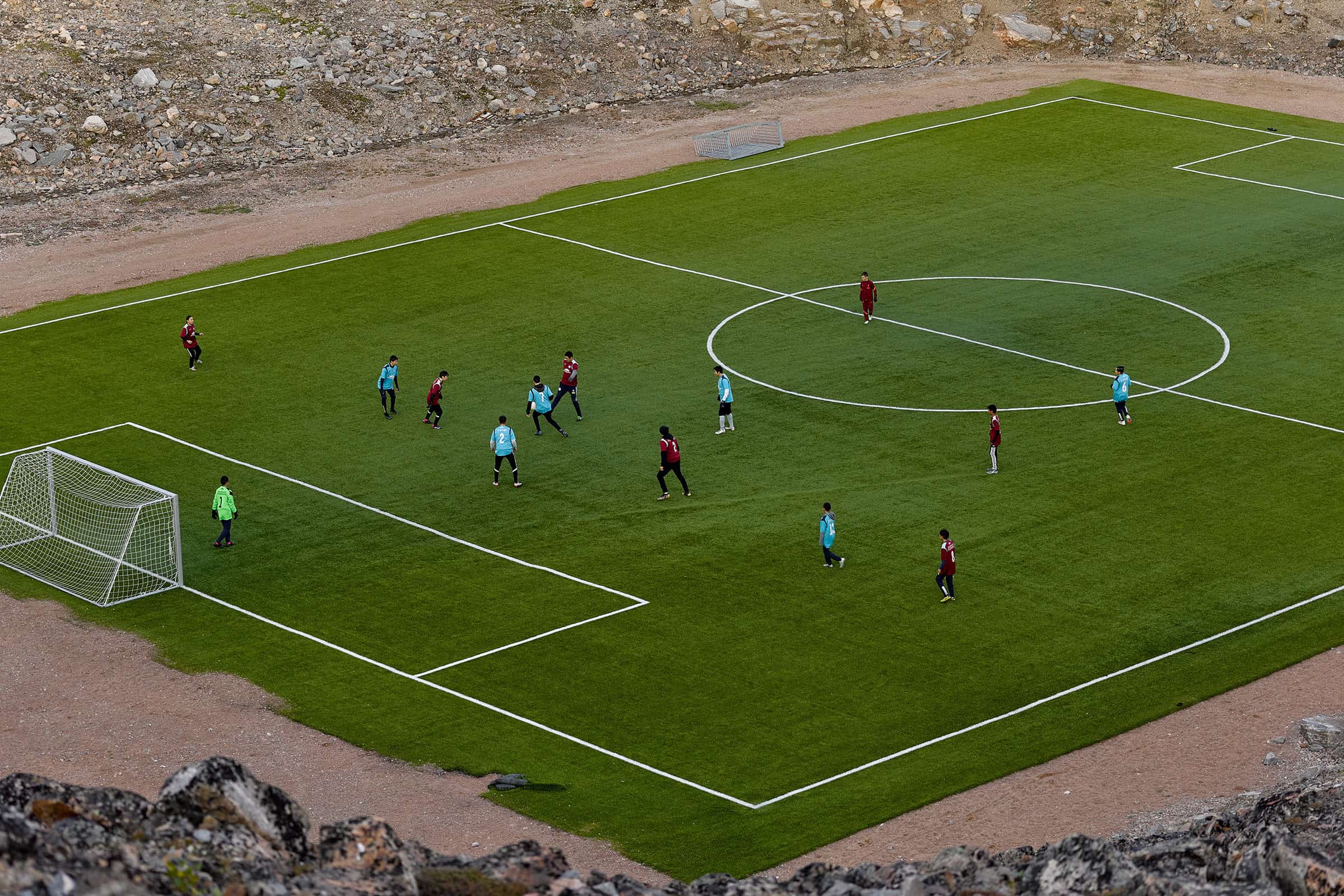
- Recreational facilities such as multipurpose football field
Places to Visit in Ittoqqortoormiit
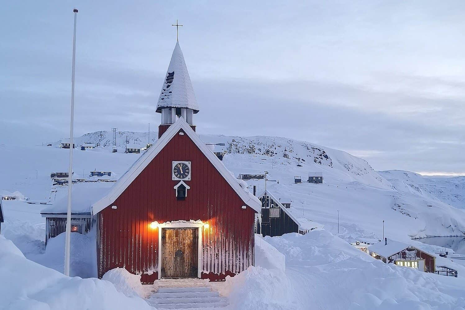
Church
Completed in 1928, the small yet charming Christian (Lutheranism) church impresses with its wooden interior, blue curved roof beams that resemble whale ribs, and cozy lights. From the ceiling hangs a replica of the ship ‘Gustav Holm’ that transported 70 people from the Ammassalik area to Ittoqqortoormiit in 1925, to establish a permanent settlement on these grounds.
Museum
Hosted in one of the older buildings of the settlement, the museum uses a mixture of historic photographs, paintings, costumes and utensils to share the history of the town and area. The focus of the exhibition is from a home in the abandoned settlement of ‘Ittaajimmiit’, also known as Kap Hope.
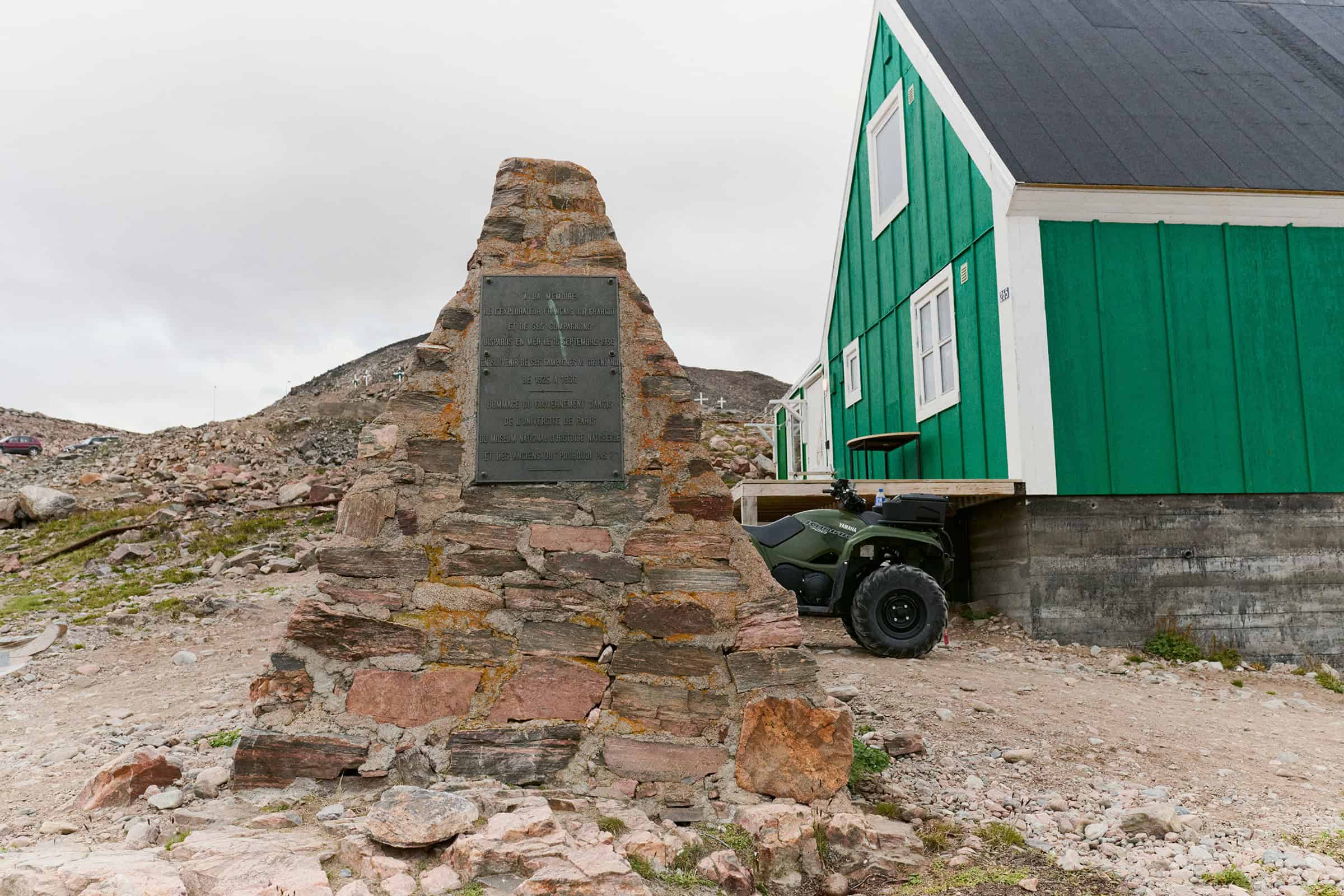
Statue Jean Baptiste Charcot
Jean-Baptiste Charcot, who explored Eastern Greenland between 1925 and 1936, before his ship perished in a storm off Iceland. Part of the expeditions were for ethnographic and mapping purposes along the East coast of Greenland.
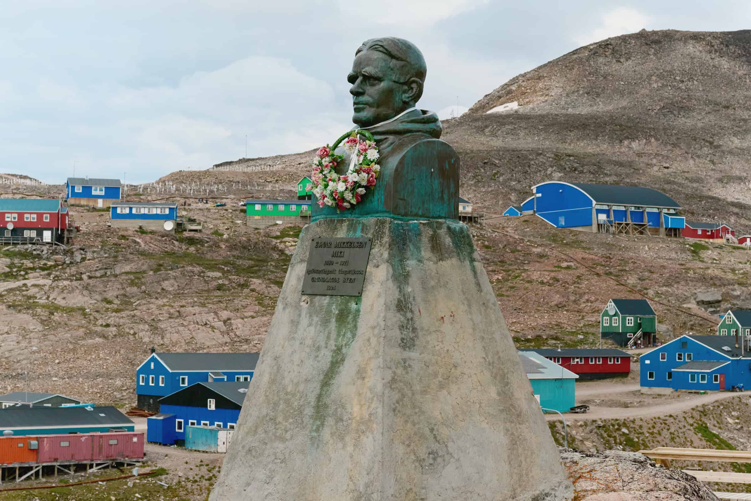
Statue Ejnar Mikkelsen
A statue in remembrance of Ejnar Mikkelsen, who led the expedition to Ittoqqortoormiit in 1925, for the foundation of the town as it stands today. Worth a visit for the fantastic view over the town and the entire bay.

Walrus Bay
The Walrus Bay is a site for wildlife enthusiasts and nature lovers. The name derives from the walrus colony that inhabited the area years ago. With a wide sandy beach with mountain and fjord views, this place is also a preferred recreational space for the locals. A gravel road connects the settlement with Walrus Bay.
Accommodation in Ittoqqortoormiit
Tsigaar Naasor
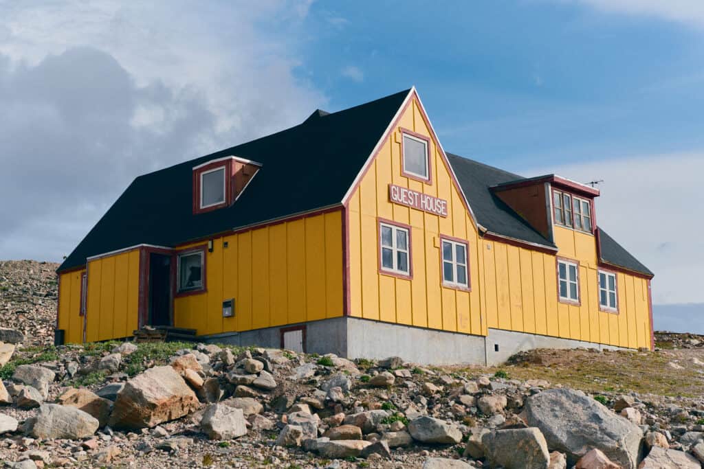
Ittoqqortoormiit Guesthouse
Providers in Ittoqqortoormiit
Tsigaar Naasor
Ittoqqortoormiit Guesthouse
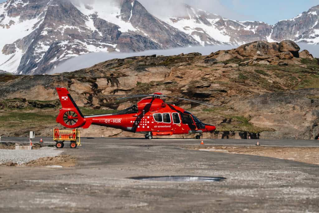
Air Greenland
Articles about Ittoqqortoormiit
Ittoqqortoormiit’s Fjords and Fauna Itinerary
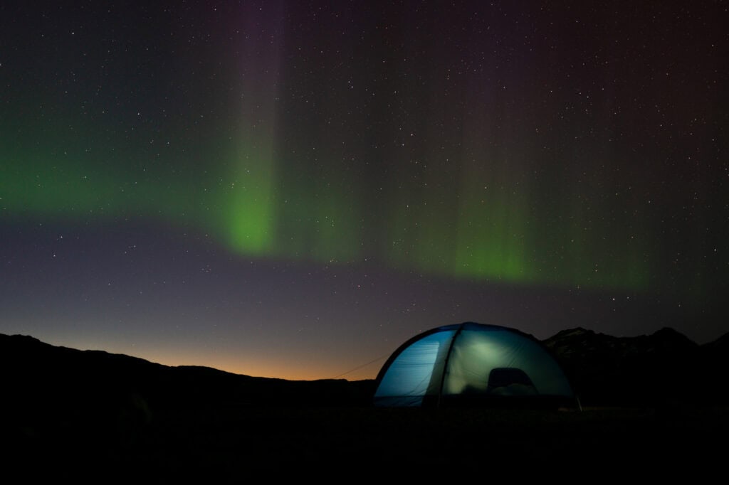
Discovering the Northern Lights of East Greenland
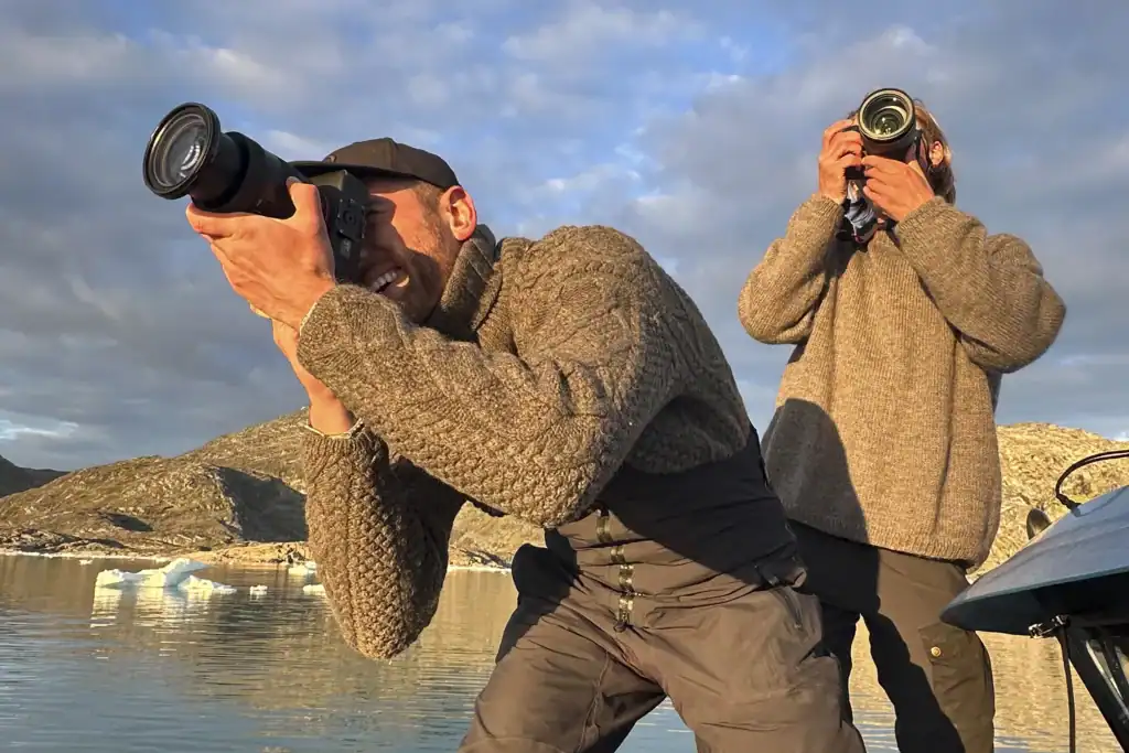
8 Essential Analogue & Digital Photography Tips
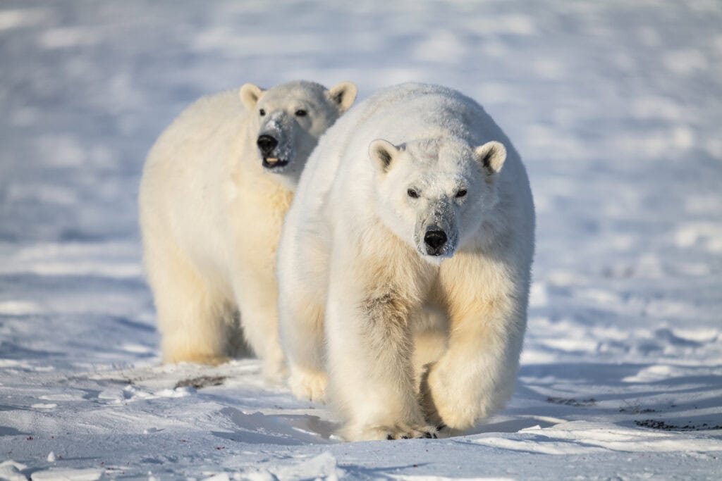
East Greenland – Home of the Arctic Polar Bear
Ittoqqortoormiit – where the Arctic feels endless
Photo – Marek Micanek, Visit East Greenland
Plan Your Trip
Plan your East Greenland adventure, tapping into local knowledge, expert tips, and essential planning tools.
Towns & Settlements
Explore East Greenland’s quaint towns and remote settlements, discovering unique landscapes, rich culture, and rugged Arctic beauty.
Tour Providers
Once you’ve chosen your adventure, book your East Greenland journey through local operators or plan it independently.
Articles
Read through our curated articles about East Greenland, deepening your insight into its seasons, traditions, and wonders.
Resources
Discover East Greenland’s essential resources and planning tools, ensuring deeper insights, trusted guidance, and a fulfilling adventure.